It's a little late, but here are the pictures from Jared's backpacking trip as promised!
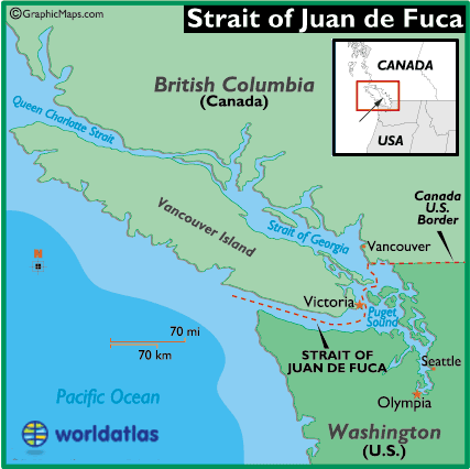
So here's a map of the area:
Jared was hiking the Juan de Fuca trail, which is along the coast of Victoria island on the Strait of Juan de Fuca. From this map, you can see more details of the trail itself.
Jared and the group of 70 high school students, teachers and helpers started in the area designated as "most difficult." You can see from the trail map how many little creeks and inlets they had to cross during the trail. Apparently it was pretty muddy too :) Here are the pictures from their first day:
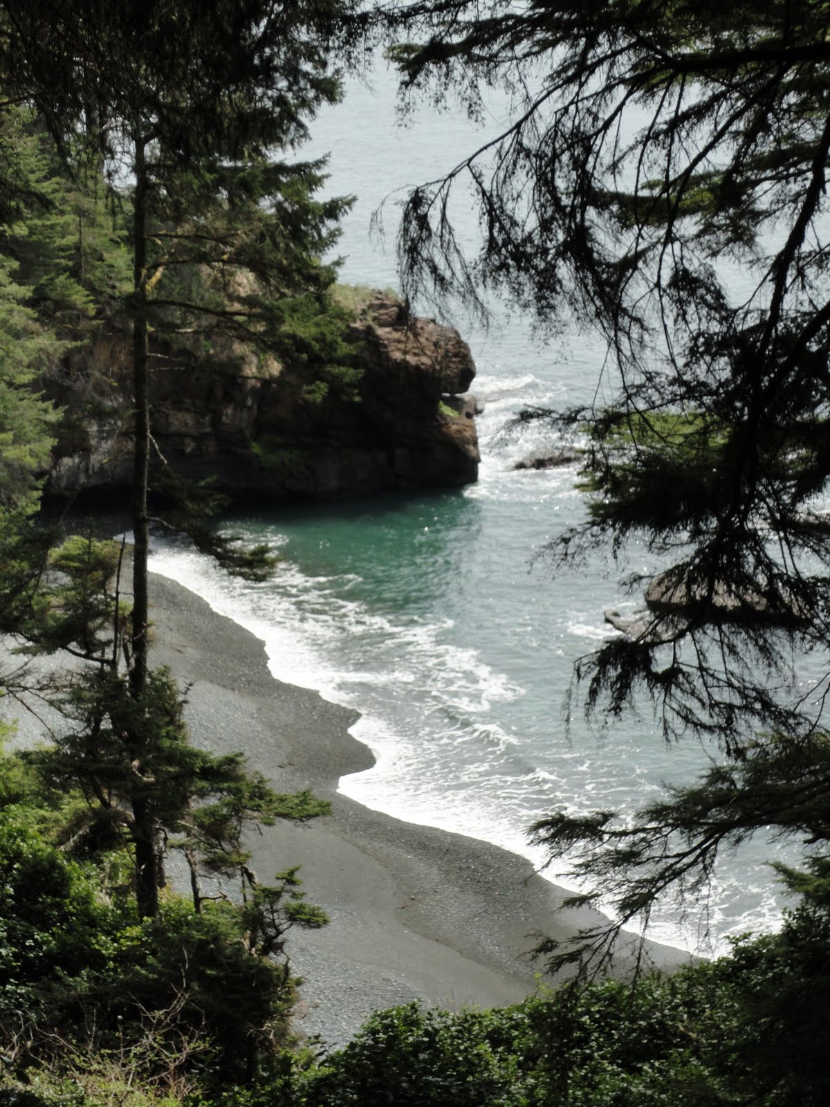
This is where they camped the first night, Chin Beach.
 |
| Jared's campsite |
The second day was more hiking. This portion included a pretty long and scary looking suspension bridge--this is the view looking down:
The third day, they drove up to Botanical Beach, where they studied the awesome tide pools.
It makes me green with envy. Fortunately, they didn't see any whales--if they had, I would've been real mad :)
Oh, and they have awesome massive trees there too (probably still my favorite feature of the Pacific Northwest).
It looks awesome. I can't wait to explore the island myself :)


Wow! Looks like an awesome adventure!!!
ReplyDeleteBeautiful photos. What a unique area. Mom
ReplyDelete